
![Open SDK [1]](https://new.siyi.biz/oss/image/2026/05/11/软件_-_UniGCS_-_手机端_-_02_3_fe6957a4.webp)
Upgrade: Flight Controller Tuning

UAV / UGV / USV
UniGCS
Mixed-Source Ground Station Software
UniGCS, specially designed for Mavlink-based products, SIYI & third-party products, helps UAV, UGV & USV operators
control the robot as easily as using a mobile phone. Streamlined function layout and operational logic,
One-Stop parameter tuning and control. Integrates RTK, intelligent route planning, terrain-following,
point-to-point navigation, AI recognition & tracking, gimbal controls, integrated attitude data,
ESC information display functions, make drone and intelligent robotics industries smarter, simpler, and more professional.
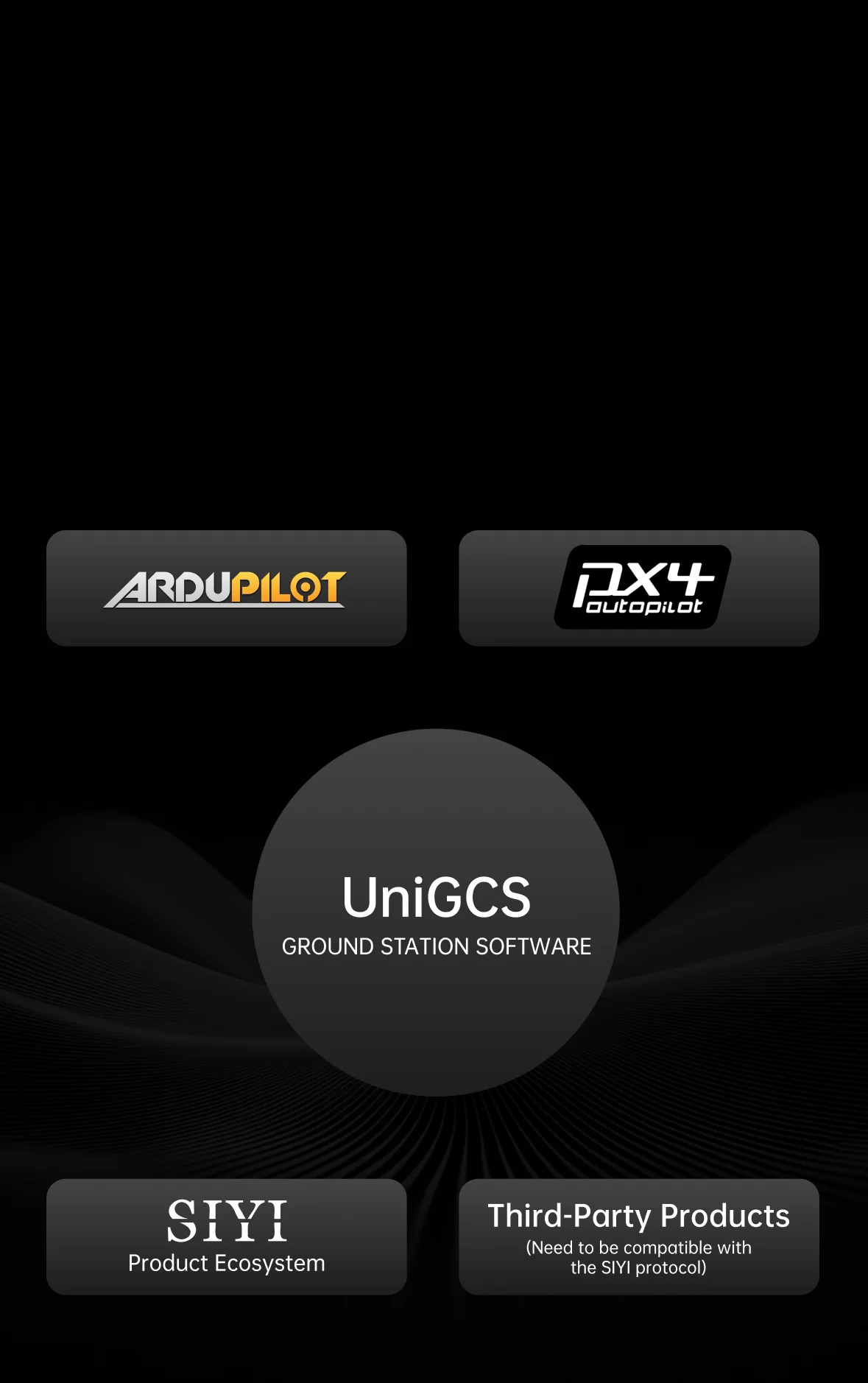
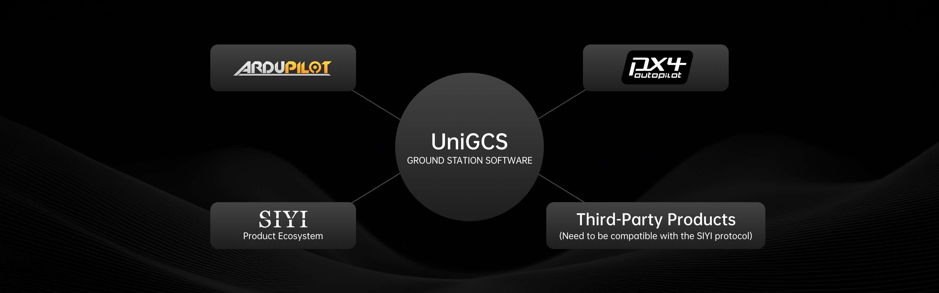
Open and Inclusive
To Explore Infinity
The core idea of UniGCS is to build a highly compatible and scalable platform with an open ecosystem.
An open ecosystem helps create more innovative applications to further expand drone application scenarios,
and helps user enjoy the infinity of technology with various choices.
An open ecosystem helps create more innovative applications to further expand drone application scenarios,
and helps user enjoy the infinity of technology with various choices.

Open-Source Ecosystem
Compatible with Mavlink-based products

Commercial Ecosystem
Compatible with SIYI and third-party products
![Open SDK [1]](https://new.siyi.biz/oss/image/2026/05/14/软件_-_UniGCS_-_电脑端_-_02_3_b80c51ff.webp)
Open SDK [1]
UniGCS SDK will help users independently develop software solutions for personalized needs
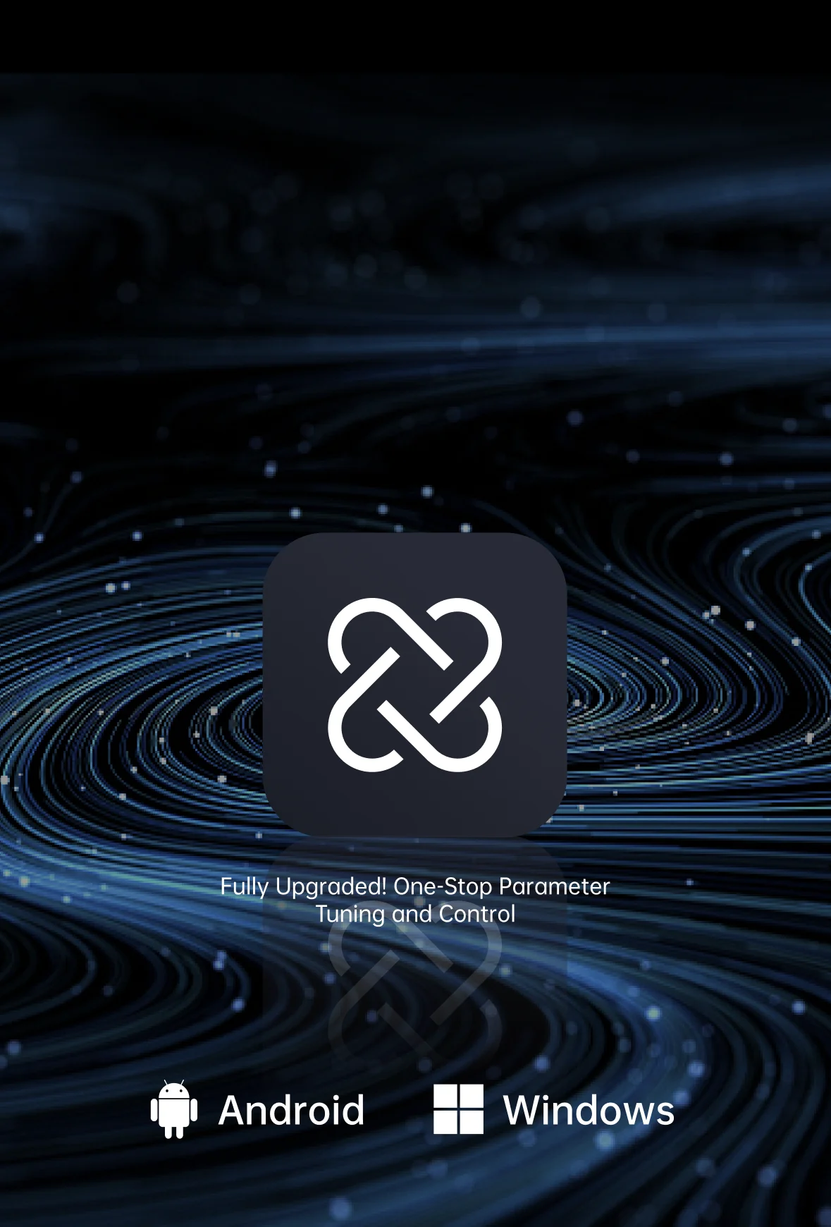
One-Stop Parameter Tuning & Control
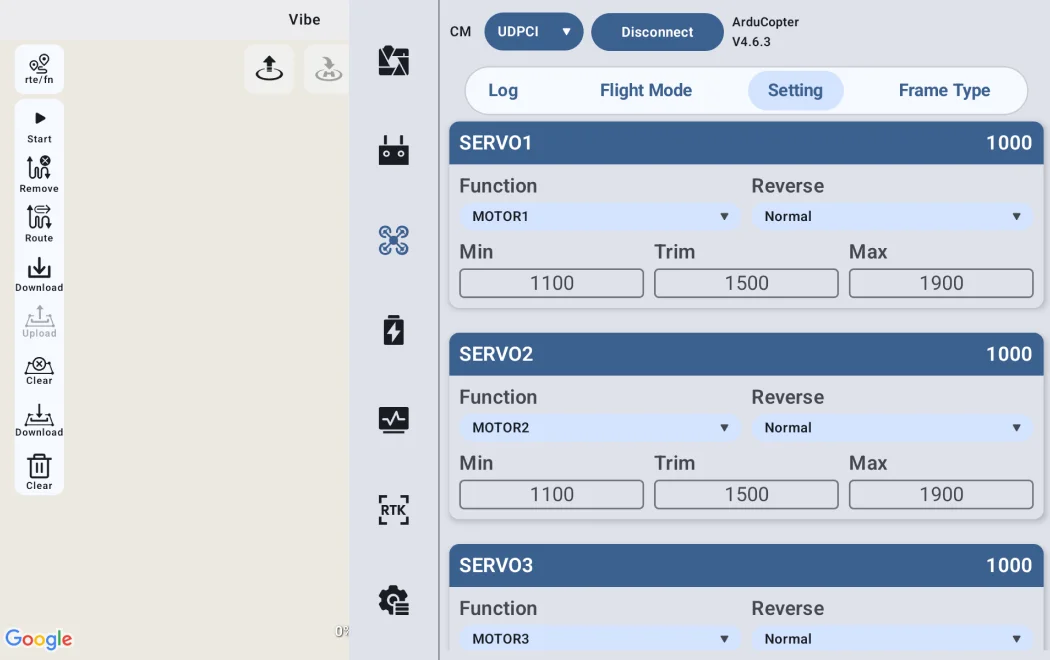
Major Update in v3.0: Enhanced flight controller parameter tuning capabilities, achieving one-stop
parameter adjustment for optical pod, link & controller, flight controller and propulsion systems.
parameter adjustment for optical pod, link & controller, flight controller and propulsion systems.
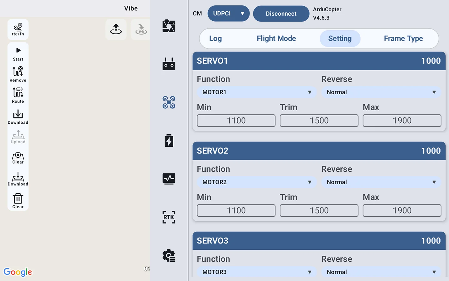
Upgrade: Flight Controller Tuning
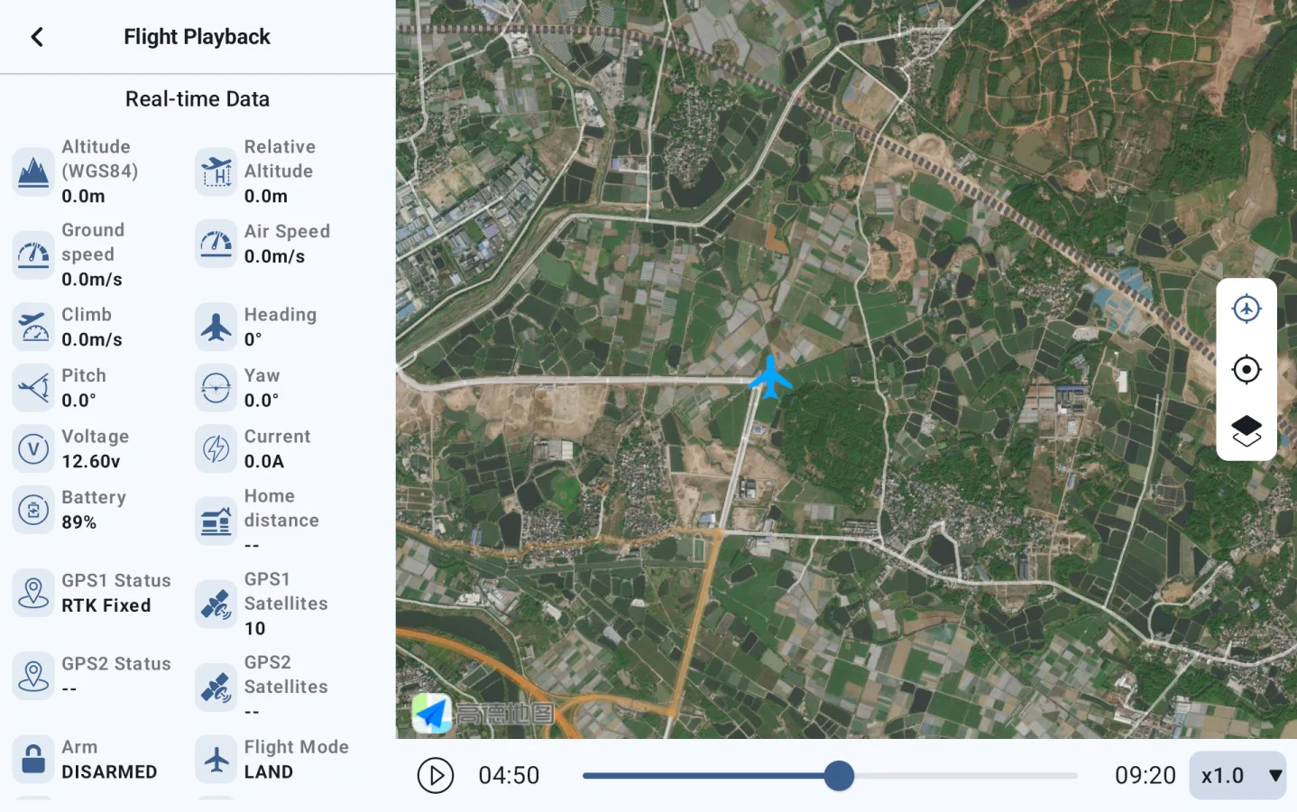
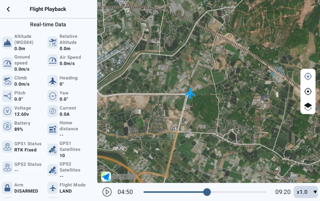
Flight Records Telemetry
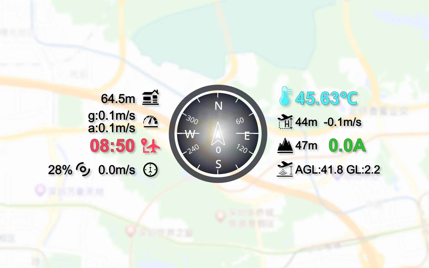
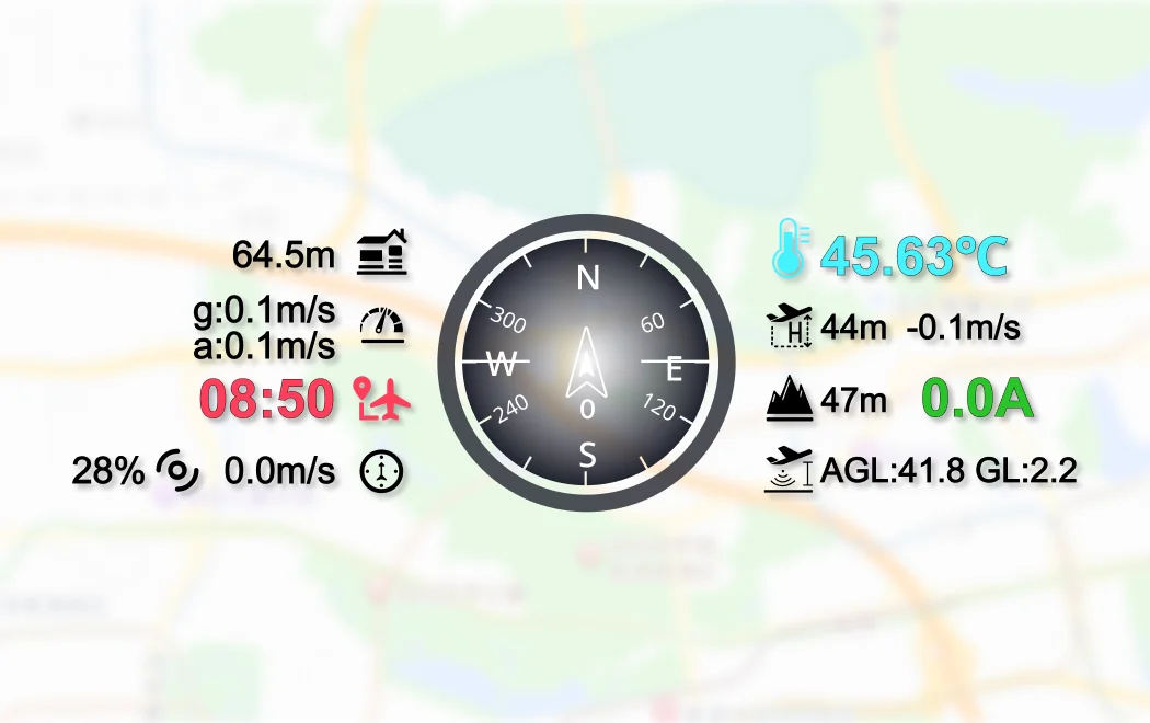
Support Customizable OSD Styles
Various Intelligent Route Planning
UniGCS supports five different intelligent route modes, includes waypoint mission, mapping route,
oblique photography route, corridor route and bevel route.
oblique photography route, corridor route and bevel route.
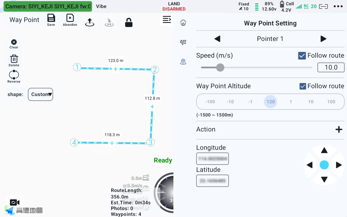
Waypoint Mission
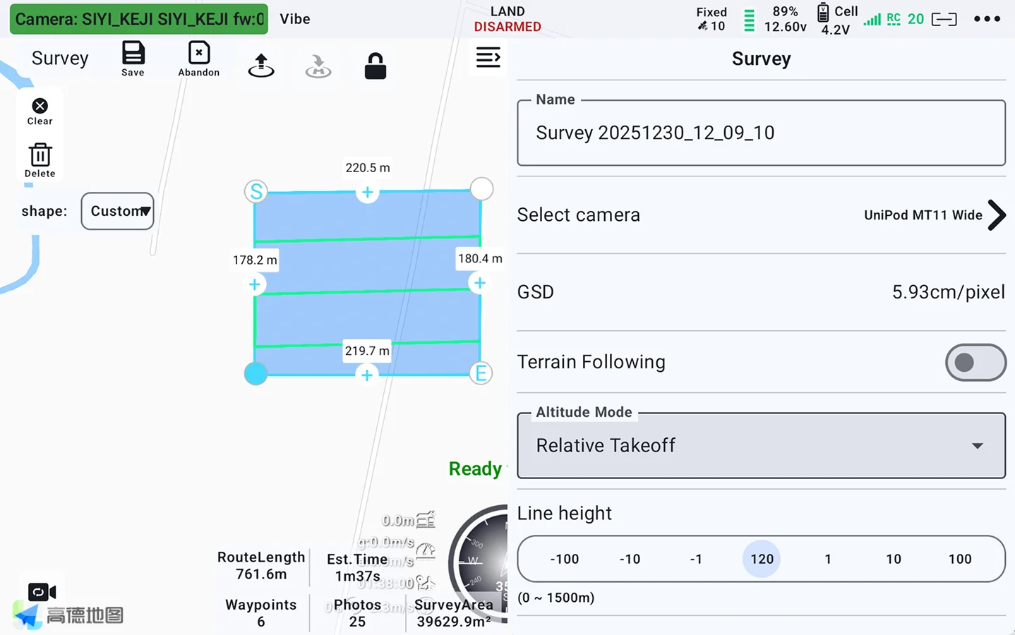
Mapping Route
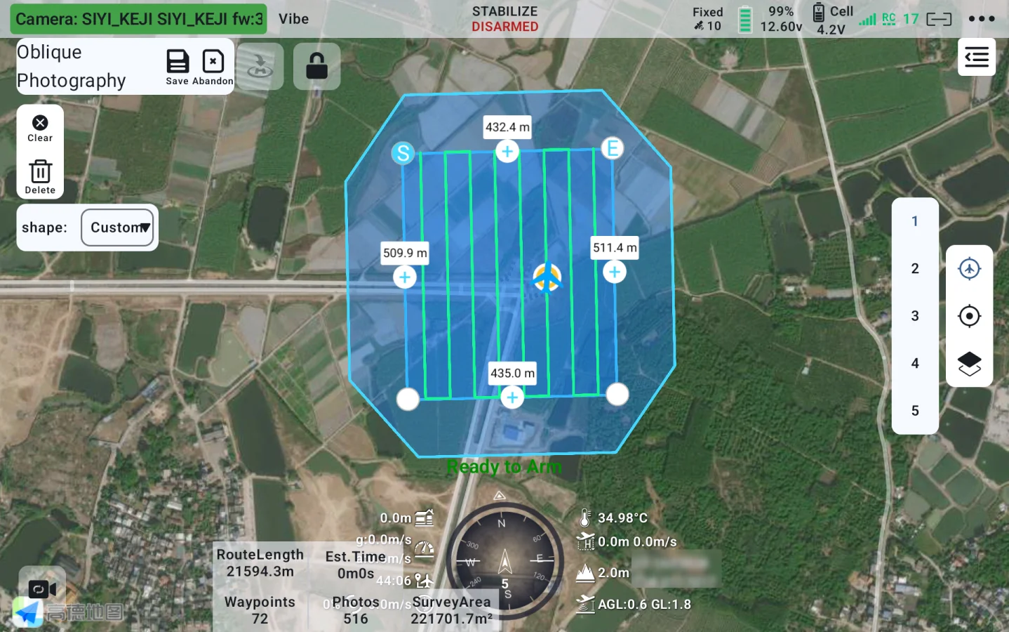
Oblique Photography Route
![<div>Bevel Route [3]</div>](https://new.siyi.biz/oss/image/2026/05/14/Software_-_UniGCS_-_PC_-_08_4_82f9b71f.webp)
Bevel Route [3]
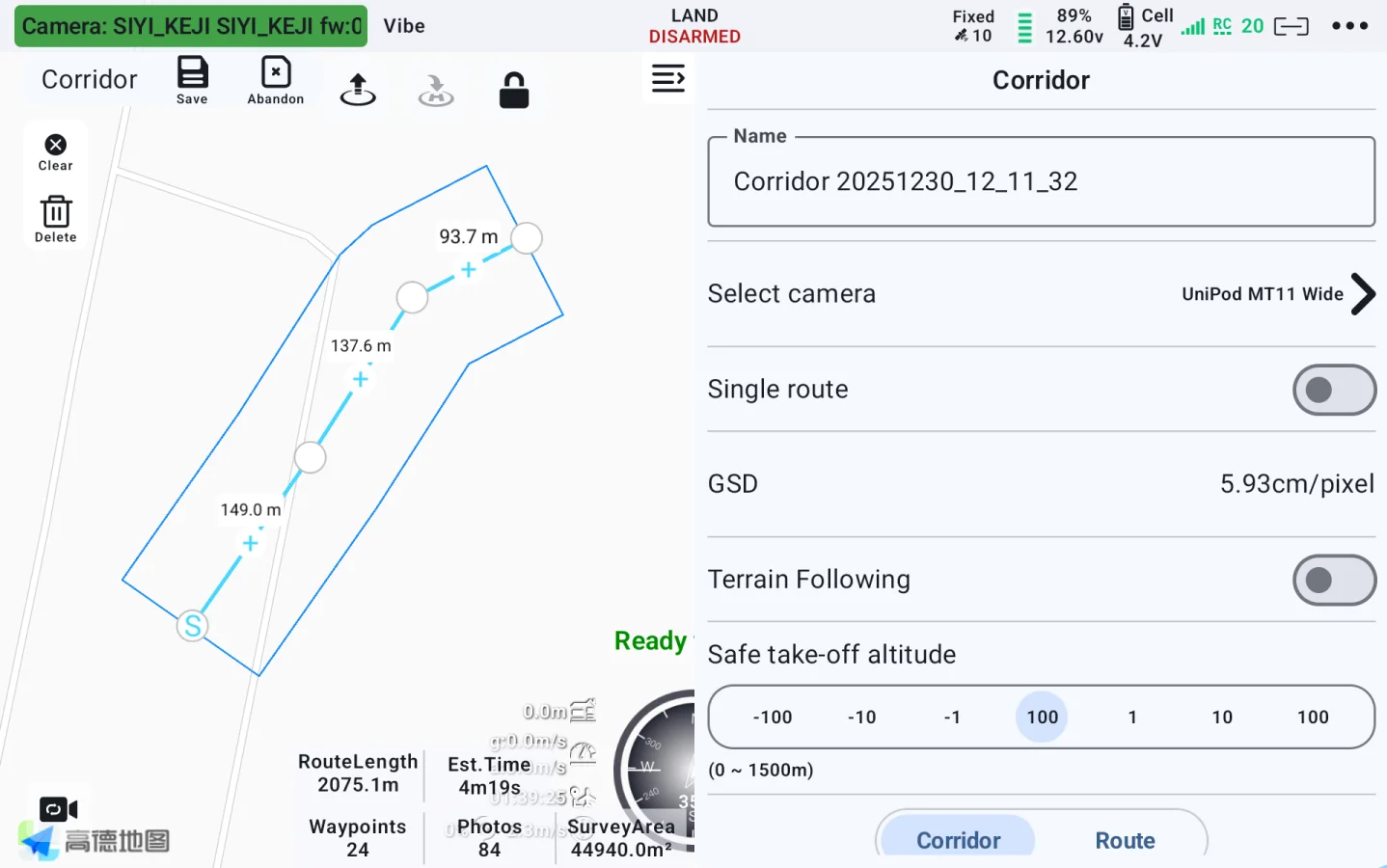
Corridor Route
New Flight Route Upgrade
Added display of photo points, camera field of view, and more.
During flight missions, photo point locations are now automatically recorded and marked, facilitating traceability of inspection task issue points.
Simpler Operation
Diverse intelligent route functions, make your missions easier and freer.

Flight check

Route information estimation

Route progress display

Route tracking

Customizable voice broadcast

ESC information display

Waypoint jump

Resume mission from waypoint

Point-to-point navigation

KML / Route import

Route export

Cloud route
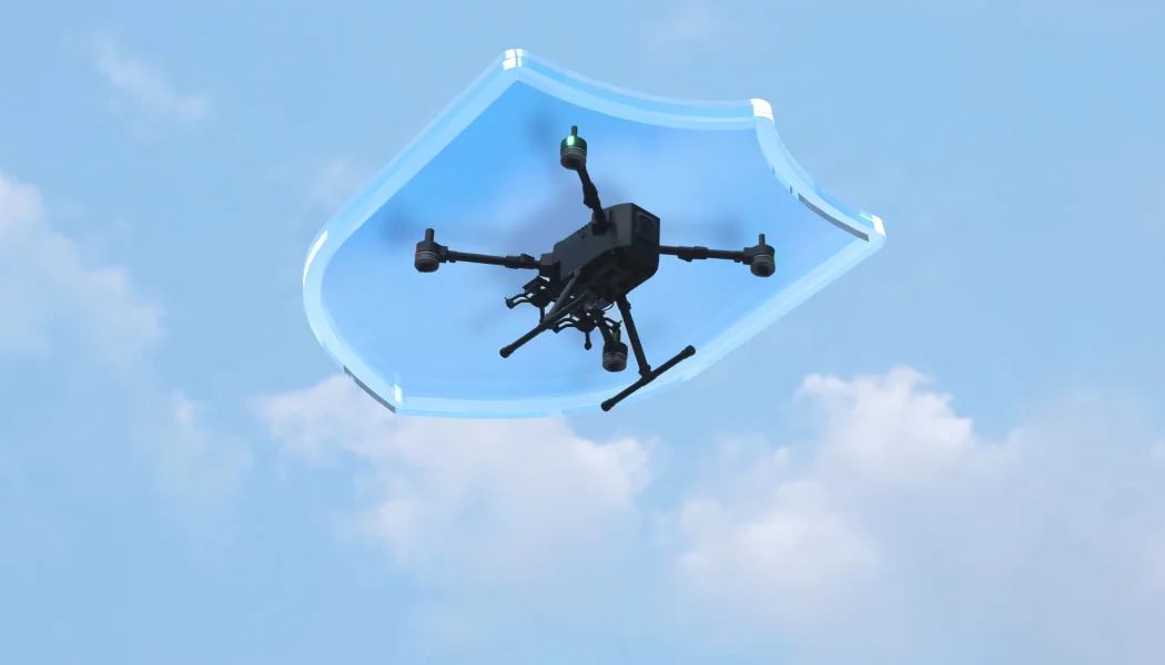
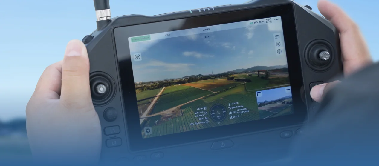
Convenient Flight Control To Secure Every Missions
Real-time OSD, flight controller parameter configuration, one-button click, geofence, etc.
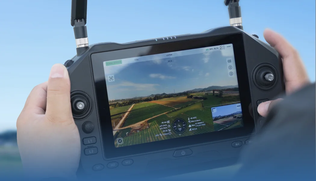
Gimbal Camera Control, Master Overall Situation
HD image display, one-click camera control, real-time file management, integrated altitude data, etc.
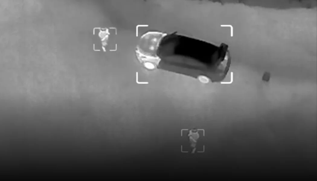
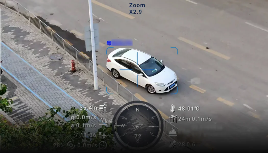
AI Recognition & Tracking
Accurately Lock Every Moment
UniGCS provides powerful AI recognition and tracking functions, which can perform point-to-track and
box tracking to always catch the target. AI models support fast switching among insulators,
thermal imaging, smoke, hull, flame, and standard to adapt to various missions.
There is also the high-efficiency license plate recognition function.
box tracking to always catch the target. AI models support fast switching among insulators,
thermal imaging, smoke, hull, flame, and standard to adapt to various missions.
There is also the high-efficiency license plate recognition function.

AI Recognition & Tracking
Point-to-track and box tracking
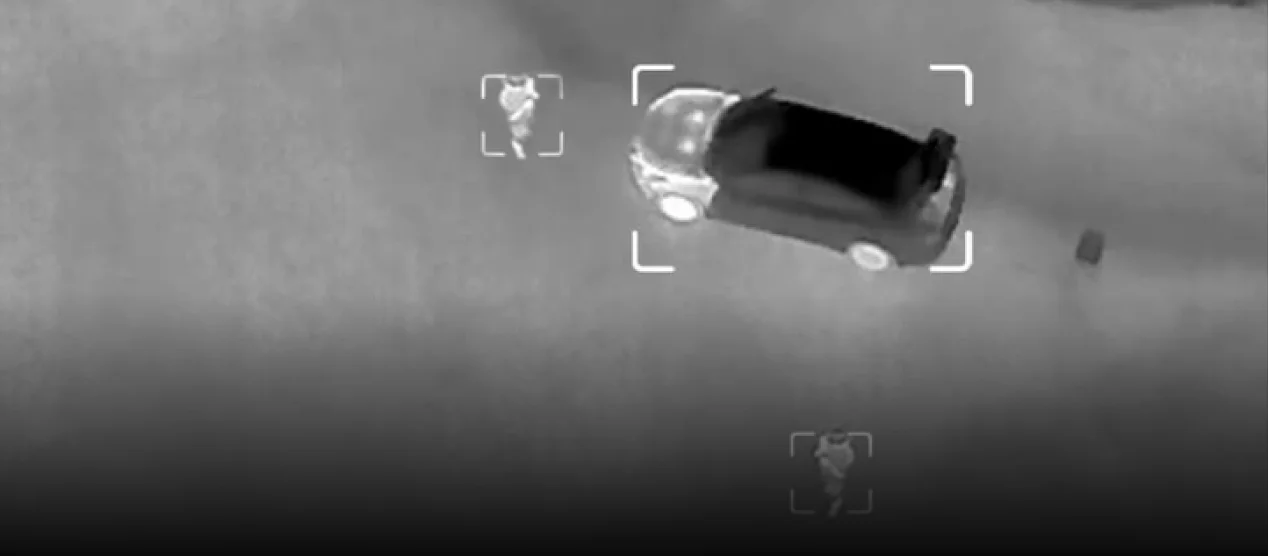
AI Model Switch
Support switching between human, car, insulators, thermal imaging, smoke, hull and fire models.
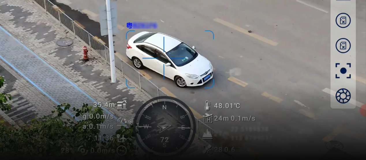
AI License Plate Recognition
Enable / disable license plate recognition.
Precise Propulsion System Tuning
One-stop integration for ESC calibration, motor testing, and real-time ESC information display.
Based on the ESC model, select the throttle type output by the flight controller, along with the minimum and maximum throttle ranges, ensuring that all ESCs respond uniformly to flight controller signal inputs.
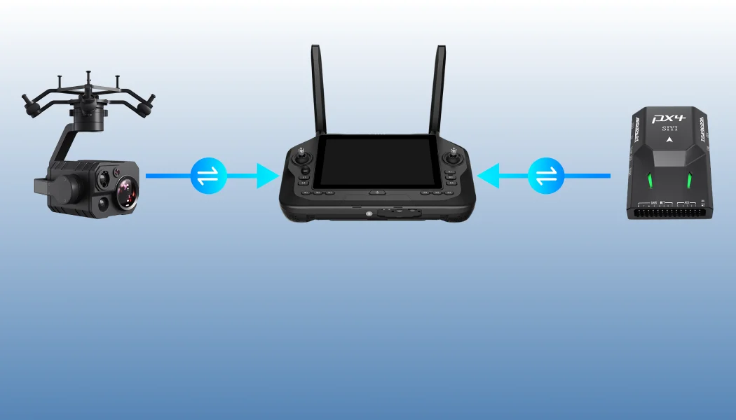
Multiple Links, Flexible Combinations
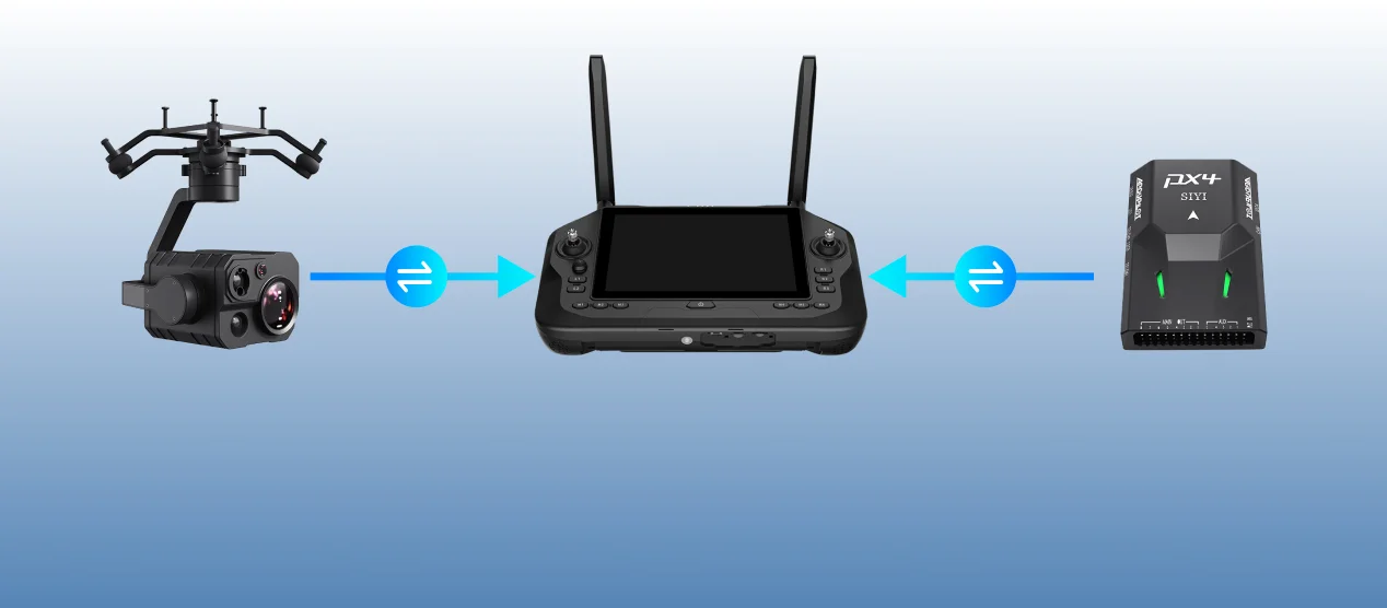
Support multiple datalink equipment connection methods, RTSP video stream gimbal camera (optical pod), and other equipment.

Intelligent fail-safe protection to ensure flight safety.
Real-time link status monitoring.
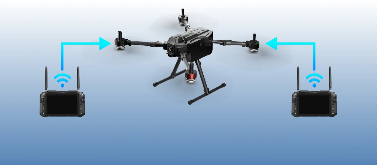
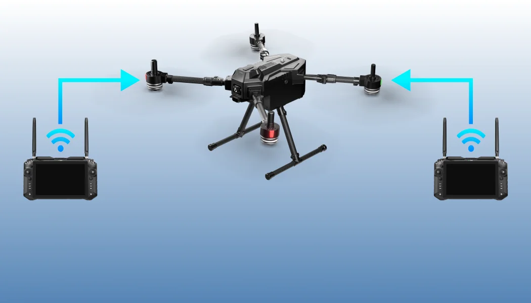
Dual operator function, more efficient team collaboration.
Product Support
Compatible with Mavlink-based products, SIYI & third-party products.
Open SDK, help users independently develop software solutions for personalized needs.
[1] SDK support will be released later.
[2] Picture resolution depends on camera models, please refer to your camera model in actual use.
[3] Current version only support vertical route, bevel route will be available in subsequent versions.
[4] DEM elevation data does not cover global data, please check the accuracy and security in advance before enabling this function.